 vesseltracker.com
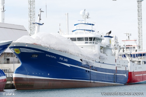
Vessel Grateful IMO: 9794953, MMSI: 232007139 Fishing Vessel
UTC, 60.20804, -2.92884, course: 34, speed: 12.5
UTC, 60.42924, -2.68432, course: 24, speed: 11.3
2026-01-17 18:36:02 UTC, 60.46379, -2.66149, course: 15, speed: 11.6
Live AIS position:
UTC. 27 nm NW of Ham Voe, Foula),
updated 2026-01-17 18:36:02 UTC.
Find the position of the vessel Grateful on the map. The latter are known coordinates and path.
marine traffic ship tracker show on live map
The current position of vessel Grateful is 60.46379 lat / -2.66149 lng. Updated: 2026-01-17 18:36:02 UTCCurrently sailing under the flag of United Kingdom
Details:
Last coordinates of the vessel:
UTC, 60.17703, -3.04673, course: 92, speed: 11.3UTC, 60.20804, -2.92884, course: 34, speed: 12.5
UTC, 60.42924, -2.68432, course: 24, speed: 11.3
2026-01-17 18:36:02 UTC, 60.46379, -2.66149, course: 15, speed: 11.6