 vesseltracker.com
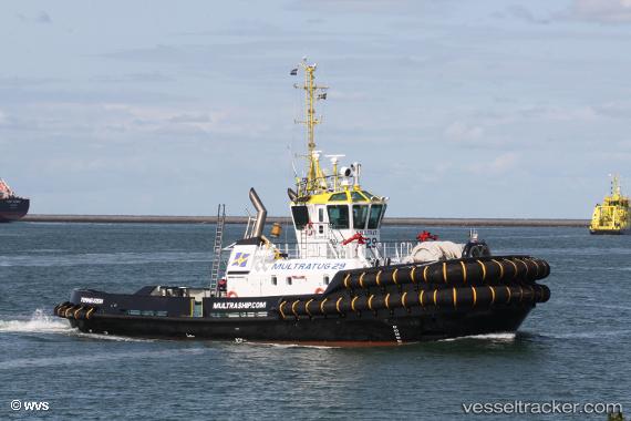
Find the position of the vessel Multratug 29 on the map. The latter are known coordinates and path.
marine traffic ship tracker show on live map
The current position of vessel Multratug 29 is 52.44301 lat / 3.88891 lng. Updated: 2025-11-07 01:34:33 UTCCurrently sailing under the flag of Netherlands
Details:
Last coordinates of the vessel:
UTC, 52.19496, 3.88535, course: 355, speed: 4.1UTC, 52.29486, 3.87136, course: 349, speed: 5.1
UTC, 52.38021, 3.87548, course: 352, speed: 5.9
2025-11-07 01:34:33 UTC, 52.44301, 3.88891, course: 2, speed: 6.5