 vesseltracker.com
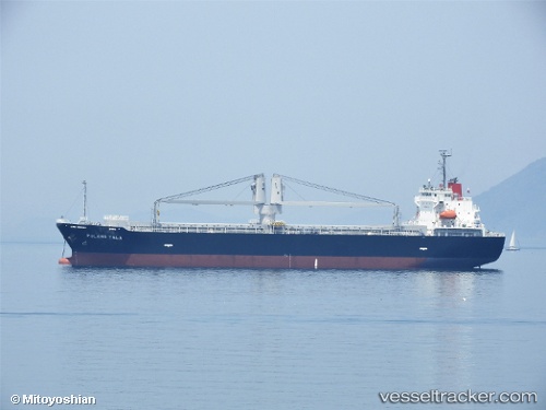
Find the position of the vessel Pulang Tala on the map. The latter are known coordinates and path.
marine traffic ship tracker show on live map
The current position of vessel Pulang Tala is 35.357385 lat / 139.85220666667 lng. Updated: 2025-10-21 13:44:18 UTCCurrently sailing under the flag of Philippines
Details:
Last coordinates of the vessel:
UTC, 35.357376666667, 139.852165, course: 149, speed: 0UTC, 35.356666666667, 139.85166666667, course: -1, speed: 0
UTC, 35.356666666667, 139.85166666667, course: -1, speed: 0
2025-10-21 13:44:18 UTC, 35.357385, 139.85220666667, course: 149, speed: 0