 vesseltracker.com
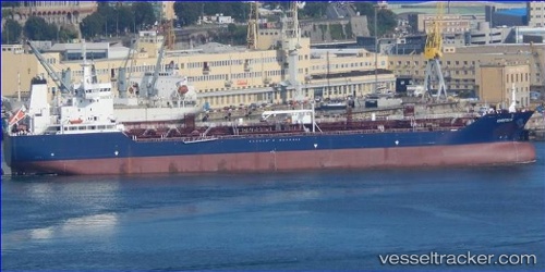
Find the position of the vessel Greta K on the map. The latter are known coordinates and path.
marine traffic ship tracker show on live map
The current position of vessel Greta K is 43.39596 lat / 4.96678 lng. Updated: 2025-11-06 03:23:09 UTCCurrently sailing under the flag of Malta
Details:
Last coordinates of the vessel:
UTC, 43.39517, 4.96688, course: 76, speed: 0UTC, 43.39578, 4.96680, course: 97, speed: 0
UTC, 43.39605, 4.96684, course: 110, speed: 0
2025-11-06 03:23:09 UTC, 43.39596, 4.96678, course: 101, speed: 0