 vesseltracker.com
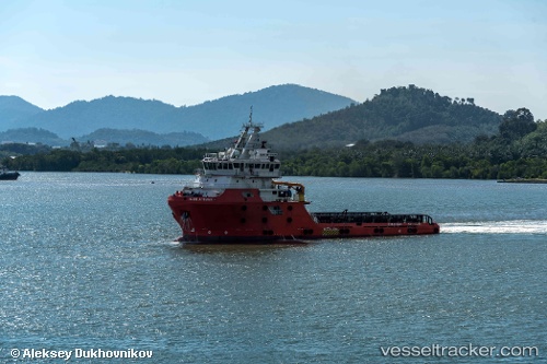
Find the position of the vessel Grade One Manjung 8 on the map. The latter are known coordinates and path.
marine traffic ship tracker show on live map
The current position of vessel Grade One Manjung 8 is 4.257315 lat / 100.67749666667 lng. Updated: 2025-10-14 03:41:38 UTCDetails:
Last coordinates of the vessel:
2025-10-14 03:41:38 UTC, 4.257315, 100.67749666667, course: 12, speed: 0