 vesseltracker.com
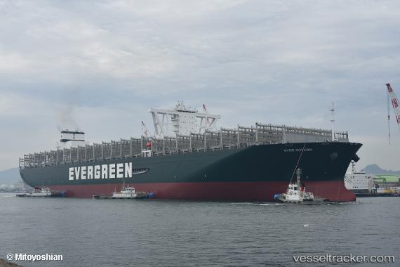
Vessel Ever Govern IMO: 9832717, MMSI: 356582000 Container Ship
UTC, 2.29030, -12.66354, course: 320, speed: 18.7
UTC, 2.55719, -12.87742, course: 320, speed: 18.4
2026-01-16 13:27:58 UTC, 2.59050, -12.90379, course: 320, speed: 18.3
Live AIS position:
UTC. 257 nm SW of Monrovia),
updated 2026-01-16 13:27:58 UTC.
Find the position of the vessel Ever Govern on the map. The latter are known coordinates and path.
marine traffic ship tracker show on live map
The current position of vessel Ever Govern is 2.59050 lat / -12.90379 lng. Updated: 2026-01-16 13:27:58 UTCCurrently sailing under the flag of Panama
Details:
Last coordinates of the vessel:
UTC, 1.66886, -12.17734, course: 323, speed: 20.1UTC, 2.29030, -12.66354, course: 320, speed: 18.7
UTC, 2.55719, -12.87742, course: 320, speed: 18.4
2026-01-16 13:27:58 UTC, 2.59050, -12.90379, course: 320, speed: 18.3