 vesseltracker.com
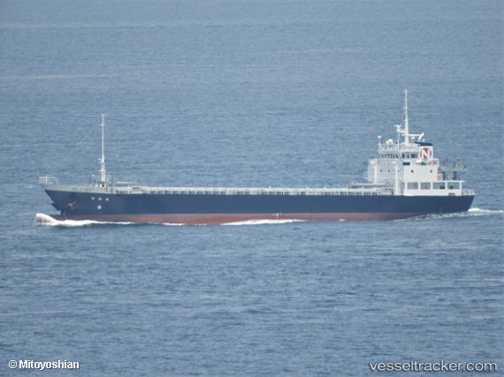
Vessel Nichiwamaru IMO: 9865051, MMSI: 431013052 General Cargo Ship
UTC, 34.56204, 134.81416, course: 246, speed: 12.5
UTC, 34.49298, 134.60759, course: 249, speed: 12
2026-01-16 11:24:54 UTC, 34.40946, 134.31619, course: 265, speed: 11.6
Live AIS position:
UTC. Near TONOSHO),
updated 2026-01-16 11:24:54 UTC.
Find the position of the vessel Nichiwamaru on the map. The latter are known coordinates and path.
marine traffic ship tracker show on live map
The current position of vessel Nichiwamaru is 34.40946 lat / 134.31619 lng. Updated: 2026-01-16 11:24:54 UTCCurrently sailing under the flag of Japan
Details:
Last coordinates of the vessel:
UTC, 34.60948, 135.24774, course: 262, speed: 11.8UTC, 34.56204, 134.81416, course: 246, speed: 12.5
UTC, 34.49298, 134.60759, course: 249, speed: 12
2026-01-16 11:24:54 UTC, 34.40946, 134.31619, course: 265, speed: 11.6