 vesseltracker.com
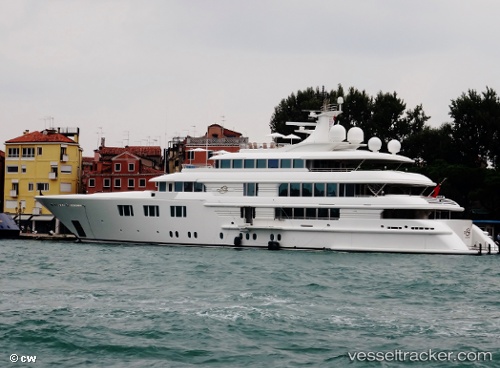
Vessel Lady E IMO: 1008217, MMSI: 319369000 Service Ship
UTC, -36.84156, 174.75215, course: 289, speed: 0
UTC, -36.84157, 174.75215, course: 288, speed: 0
2026-02-10 10:17:49 UTC, -36.84157, 174.75214, course: 289, speed: 0
Live AIS position:
UTC. Near WESTHAVEN),
updated 2026-02-10 10:17:49 UTC.
Find the position of the vessel Lady E on the map. The latter are known coordinates and path.
marine traffic ship tracker show on live map
The current position of vessel Lady E is -36.84157 lat / 174.75214 lng. Updated: 2026-02-10 10:17:49 UTCDetails:
Last coordinates of the vessel:
UTC, -36.84157, 174.75215, course: 288, speed: 0UTC, -36.84156, 174.75215, course: 289, speed: 0
UTC, -36.84157, 174.75215, course: 288, speed: 0
2026-02-10 10:17:49 UTC, -36.84157, 174.75214, course: 289, speed: 0