 vesseltracker.com
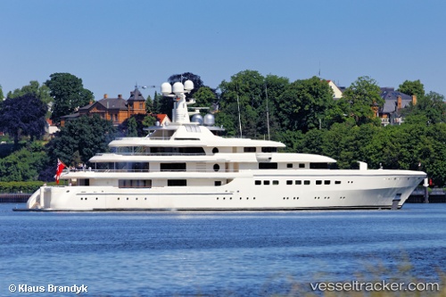
Vessel Romea IMO: 1012309, MMSI: 319078100 Sailing Vessel
UTC, 20.50035, -51.46878, course: 72, speed: 13
UTC, 20.66833, -50.97333, course: -1, speed: 13
2026-02-14 23:45:08 UTC, 20.82500, -50.51333, course: -1, speed: 13
Live AIS position:
UTC. 278 nm W of Upper Northfield),
updated 2026-02-14 23:45:08 UTC.
Find the position of the vessel Romea on the map. The latter are known coordinates and path.
marine traffic ship tracker show on live map
The current position of vessel Romea is 20.82500 lat / -50.51333 lng. Updated: 2026-02-14 23:45:08 UTCDetails:
Last coordinates of the vessel:
UTC, 20.43167, -51.66833, course: -1, speed: 12UTC, 20.50035, -51.46878, course: 72, speed: 13
UTC, 20.66833, -50.97333, course: -1, speed: 13
2026-02-14 23:45:08 UTC, 20.82500, -50.51333, course: -1, speed: 13