 vesseltracker.com
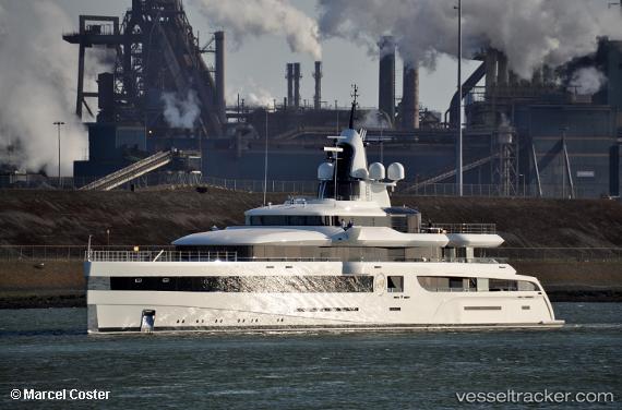
Vessel Lady S IMO: 1013121, MMSI: 319137200 Sailing Vessel
UTC, 13.08667, -59.61833, course: -1, speed: 0
UTC, 13.08615, -59.61924, course: 104, speed: 0.2
2026-02-10 21:24:05 UTC, 13.08629, -59.61921, course: 134, speed: 0.1
Live AIS position:
UTC. Near Bridgetown),
updated 2026-02-10 21:24:05 UTC.
Find the position of the vessel Lady S on the map. The latter are known coordinates and path.
marine traffic ship tracker show on live map
The current position of vessel Lady S is 13.08629 lat / -59.61921 lng. Updated: 2026-02-10 21:24:05 UTCCurrently sailing under the flag of Cayman Is
Details:
Last coordinates of the vessel:
UTC, 13.08667, -59.61833, course: -1, speed: 0UTC, 13.08667, -59.61833, course: -1, speed: 0
UTC, 13.08615, -59.61924, course: 104, speed: 0.2
2026-02-10 21:24:05 UTC, 13.08629, -59.61921, course: 134, speed: 0.1