 vesseltracker.com
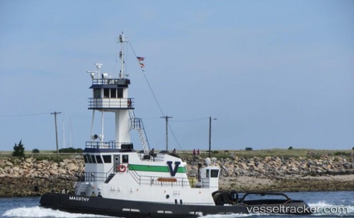
Vessel Magothy IMO: 1212428, MMSI: 367371810 Pusher Tug
UTC, 36.80443, -76.29013, course: 26, speed: 0
UTC, 36.89587, -76.33602, course: 357, speed: 9.4
2026-02-21 14:01:09 UTC, 37.11203, -76.16011, course: 0, speed: 9.6
Live AIS position:
UTC. Near Poquoson),
updated 2026-02-21 14:01:09 UTC.
Find the position of the vessel Magothy on the map. The latter are known coordinates and path.
marine traffic ship tracker show on live map
The current position of vessel Magothy is 37.11203 lat / -76.16011 lng. Updated: 2026-02-21 14:01:09 UTCCurrently sailing under the flag of USA
Details:
Last coordinates of the vessel:
UTC, 36.80490, -76.28992, course: 20, speed: 0UTC, 36.80443, -76.29013, course: 26, speed: 0
UTC, 36.89587, -76.33602, course: 357, speed: 9.4
2026-02-21 14:01:09 UTC, 37.11203, -76.16011, course: 0, speed: 9.6