 vesseltracker.com
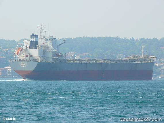
Vessel Stahla IMO: 9592018, MMSI: 209755000 Bulk Carrier
UTC, 23.22709, -87.05040, course: 319, speed: 15
UTC, 23.63919, -87.39489, course: -1, speed: 13.8
2026-02-28 20:34:16 UTC, 23.68601, -87.44207, course: 308, speed: 13.2
Live AIS position:
UTC. 151 nm N of ISLA MUJERES),
updated 2026-02-28 20:34:16 UTC.
Find the position of the vessel Stahla on the map. The latter are known coordinates and path.
marine traffic ship tracker show on live map
The current position of vessel Stahla is 23.68601 lat / -87.44207 lng. Updated: 2026-02-28 20:34:16 UTCDetails:
Last coordinates of the vessel:
UTC, 22.69939, -86.58967, course: 319, speed: 15UTC, 23.22709, -87.05040, course: 319, speed: 15
UTC, 23.63919, -87.39489, course: -1, speed: 13.8
2026-02-28 20:34:16 UTC, 23.68601, -87.44207, course: 308, speed: 13.2