 vesseltracker.com
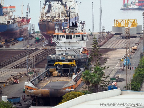
Vessel RED TIGER IMO: 9407782, MMSI: 209967000 Tug
UTC, 42.25960, -8.68855, course: 343, speed: 0
UTC, 42.25944, -8.68861, course: 342, speed: 0
2026-02-24 14:11:35 UTC, 42.25947, -8.68857, course: 343, speed: 0
Live AIS position:
UTC. Near Domayo),
updated 2026-02-24 14:11:35 UTC.
Find the position of the vessel RED TIGER on the map. The latter are known coordinates and path.
marine traffic ship tracker show on live map
The current position of vessel RED TIGER is 42.25947 lat / -8.68857 lng. Updated: 2026-02-24 14:11:35 UTCCurrently sailing under the flag of Cyprus
Details:
Last coordinates of the vessel:
UTC, 42.25944, -8.68863, course: 343, speed: 0UTC, 42.25960, -8.68855, course: 343, speed: 0
UTC, 42.25944, -8.68861, course: 342, speed: 0
2026-02-24 14:11:35 UTC, 42.25947, -8.68857, course: 343, speed: 0