 vesseltracker.com
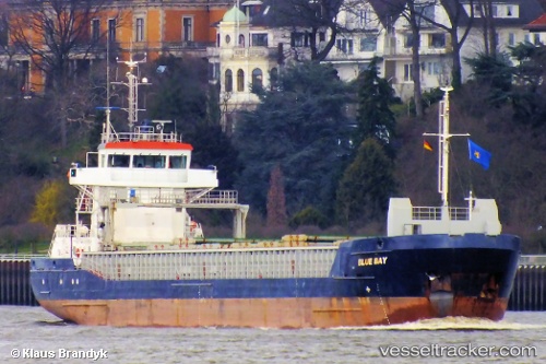
Vessel LUCA B IMO: 9370276, MMSI: 210071000 General Cargo Ship
UTC, 44.91073, -5.72871, course: 358, speed: 8.6
UTC, 45.19575, -5.73806, course: 359, speed: 8.8
2026-02-24 10:12:57 UTC, 45.47333, -5.75167, course: -1, speed: 8
Live AIS position:
UTC. 50 nm NW of Saint-Romain-de-Lerps),
updated 2026-02-24 10:12:57 UTC.
Find the position of the vessel LUCA B on the map. The latter are known coordinates and path.
marine traffic ship tracker show on live map
The current position of vessel LUCA B is 45.47333 lat / -5.75167 lng. Updated: 2026-02-24 10:12:57 UTCCurrently sailing under the flag of Cyprus
LUCA B built in 2006 year
Deadweight:
3843 tDetails:
Last coordinates of the vessel:
UTC, 44.57333, -5.72167, course: -1, speed: 8UTC, 44.91073, -5.72871, course: 358, speed: 8.6
UTC, 45.19575, -5.73806, course: 359, speed: 8.8
2026-02-24 10:12:57 UTC, 45.47333, -5.75167, course: -1, speed: 8