 vesseltracker.com
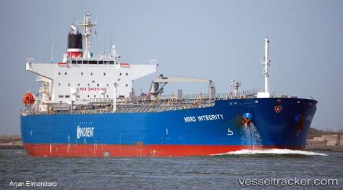
Vessel '210107000' IMO: 9568031, MMSI: 210107000
UTC, 11.10940, -79.86575, course: 8, speed: 12.7
UTC, 11.71757, -79.81550, course: 7, speed: 12.5
2026-01-30 01:20:23 UTC, 11.94578, -79.79818, course: 6, speed: 12.5
Live AIS position:
UTC. 118 nm E of San Andrés),
updated 2026-01-30 01:20:23 UTC.
Find the position of the vessel '210107000' on the map. The latter are known coordinates and path.
marine traffic ship tracker show on live map
The current position of vessel '210107000' is 11.94578 lat / -79.79818 lng. Updated: 2026-01-30 01:20:23 UTCDetails:
Last coordinates of the vessel:
UTC, 10.77803, -79.89080, course: 6, speed: 12.8UTC, 11.10940, -79.86575, course: 8, speed: 12.7
UTC, 11.71757, -79.81550, course: 7, speed: 12.5
2026-01-30 01:20:23 UTC, 11.94578, -79.79818, course: 6, speed: 12.5