 vesseltracker.com
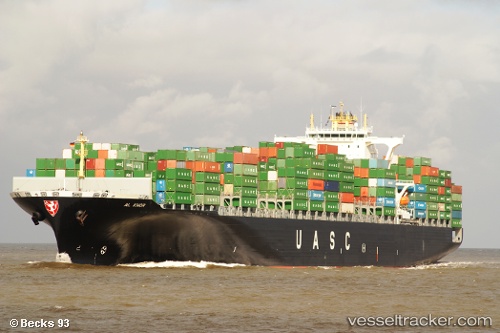
Vessel GFS GALAXY IMO: 9401271, MMSI: 210154000 Container Ship
UTC, 26.97850, 51.87313, course: 71, speed: 12.4
UTC, 27.00161, 52.38871, course: 99, speed: 11.8
2026-02-24 01:49:03 UTC, 26.83972, 52.72560, course: 125, speed: 11.2
Live AIS position:
UTC. 22 nm SW of Bandare Parsian),
updated 2026-02-24 01:49:03 UTC.
Find the position of the vessel GFS GALAXY on the map. The latter are known coordinates and path.
marine traffic ship tracker show on live map
The current position of vessel GFS GALAXY is 26.83972 lat / 52.72560 lng. Updated: 2026-02-24 01:49:03 UTCDetails:
Last coordinates of the vessel:
UTC, 26.91611, 51.61349, course: 73, speed: 12.7UTC, 26.97850, 51.87313, course: 71, speed: 12.4
UTC, 27.00161, 52.38871, course: 99, speed: 11.8
2026-02-24 01:49:03 UTC, 26.83972, 52.72560, course: 125, speed: 11.2