 vesseltracker.com
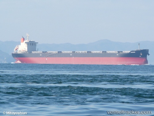
Vessel '210266000' IMO: 9639684, MMSI: 210266000
UTC, -24.89908, -20.11956, course: 300, speed: 13.3
UTC, -24.68833, -20.52500, course: -1, speed: 13
2026-02-14 17:44:04 UTC, -24.50186, -20.89677, course: 301, speed: 13
Live AIS position:
UTC. 380 nm NE of Sapiranga),
updated 2026-02-14 17:44:04 UTC.
Find the position of the vessel '210266000' on the map. The latter are known coordinates and path.
marine traffic ship tracker show on live map
The current position of vessel '210266000' is -24.50186 lat / -20.89677 lng. Updated: 2026-02-14 17:44:04 UTCDetails:
Last coordinates of the vessel:
UTC, -25.09166, -19.74333, course: -1, speed: 13UTC, -24.89908, -20.11956, course: 300, speed: 13.3
UTC, -24.68833, -20.52500, course: -1, speed: 13
2026-02-14 17:44:04 UTC, -24.50186, -20.89677, course: 301, speed: 13