 vesseltracker.com
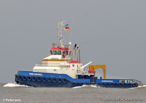
Vessel E NINE IMO: 9548897, MMSI: 210402000 Tug
UTC, 8.57745, -13.04249, course: -1, speed: 0
UTC, 8.57752, -13.04159, course: 349, speed: 0
2026-02-24 21:57:52 UTC, 8.57867, -13.04096, course: -1, speed: 0
Live AIS position:
UTC. Near Pepel),
updated 2026-02-24 21:57:52 UTC.
Find the position of the vessel E NINE on the map. The latter are known coordinates and path.
marine traffic ship tracker show on live map
The current position of vessel E NINE is 8.57867 lat / -13.04096 lng. Updated: 2026-02-24 21:57:52 UTCDetails:
Last coordinates of the vessel:
UTC, 8.57751, -13.04292, course: -1, speed: 0UTC, 8.57745, -13.04249, course: -1, speed: 0
UTC, 8.57752, -13.04159, course: 349, speed: 0
2026-02-24 21:57:52 UTC, 8.57867, -13.04096, course: -1, speed: 0