 vesseltracker.com
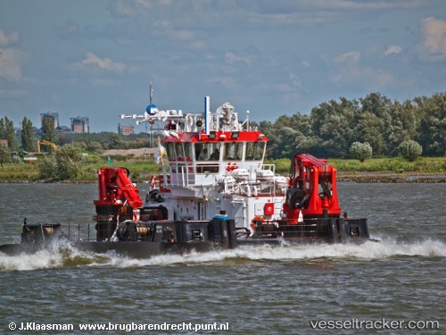
Vessel Meibion Island IMO: 9496991, MMSI: 210592000 Utility Vessel
UTC, 26.61512, 50.18675, course: 85, speed: 0.1
UTC, 26.61459, 50.18697, course: 61, speed: 0
2026-02-13 09:28:15 UTC, 26.61432, 50.18682, course: 60, speed: 0.2
Live AIS position:
UTC. Near Ras Tannurah),
updated 2026-02-13 09:28:15 UTC.
Find the position of the vessel Meibion Island on the map. The latter are known coordinates and path.
marine traffic ship tracker show on live map
The current position of vessel Meibion Island is 26.61432 lat / 50.18682 lng. Updated: 2026-02-13 09:28:15 UTCDetails:
Last coordinates of the vessel:
UTC, 26.61500, 50.18667, course: -1, speed: 0UTC, 26.61512, 50.18675, course: 85, speed: 0.1
UTC, 26.61459, 50.18697, course: 61, speed: 0
2026-02-13 09:28:15 UTC, 26.61432, 50.18682, course: 60, speed: 0.2