 vesseltracker.com
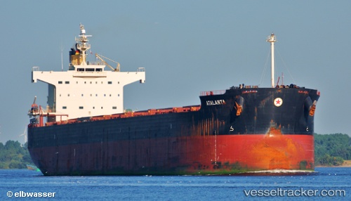
Vessel M EXPLORER IMO: 9494113, MMSI: 210635000 Bulk Carrier
UTC, 50.46500, -175.96500, course: -1, speed: 8
UTC, 50.52524, -175.34276, course: 80, speed: 8.9
2026-02-25 23:21:43 UTC, 50.54790, -175.12711, course: 80, speed: 8.9
Live AIS position:
UTC. 70 nm S of Mitchem),
updated 2026-02-25 23:21:43 UTC.
Find the position of the vessel M EXPLORER on the map. The latter are known coordinates and path.
marine traffic ship tracker show on live map
The current position of vessel M EXPLORER is 50.54790 lat / -175.12711 lng. Updated: 2026-02-25 23:21:43 UTCDetails:
Last coordinates of the vessel:
UTC, 50.43455, -176.27380, course: 81, speed: 9.3UTC, 50.46500, -175.96500, course: -1, speed: 8
UTC, 50.52524, -175.34276, course: 80, speed: 8.9
2026-02-25 23:21:43 UTC, 50.54790, -175.12711, course: 80, speed: 8.9