 vesseltracker.com
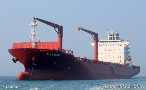
Vessel San Giorgio IMO: 9625918, MMSI: 210663000 Container Ship
UTC, -14.43012, 148.80989, course: 26, speed: 16.5
UTC, -14.02167, 149.01833, course: -1, speed: 16
2026-02-01 08:27:55 UTC, -13.34909, 149.36382, course: 24, speed: 16.3
Live AIS position:
UTC. 179 nm SW of Samarai),
updated 2026-02-01 08:27:55 UTC.
Find the position of the vessel San Giorgio on the map. The latter are known coordinates and path.
marine traffic ship tracker show on live map
The current position of vessel San Giorgio is -13.34909 lat / 149.36382 lng. Updated: 2026-02-01 08:27:55 UTCCurrently sailing under the flag of Cyprus
San Giorgio built in 2013 year
Deadweight:
24157 tDetails:
Last coordinates of the vessel:
UTC, -14.79500, 148.61667, course: -1, speed: 16UTC, -14.43012, 148.80989, course: 26, speed: 16.5
UTC, -14.02167, 149.01833, course: -1, speed: 16
2026-02-01 08:27:55 UTC, -13.34909, 149.36382, course: 24, speed: 16.3