 vesseltracker.com
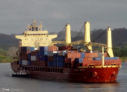
Vessel Seaboard America IMO: 9393589, MMSI: 210815000 Multi Purpose Carrier
UTC, 23.75641, -16.94026, course: 207, speed: 12.1
UTC, 23.28883, -17.19376, course: 205, speed: 12.6
2026-02-18 03:47:00 UTC, 22.93792, -17.36974, course: 204, speed: 12.7
Live AIS position:
UTC. 66 nm SE of Las Brujas),
updated 2026-02-18 03:47:00 UTC.
Find the position of the vessel Seaboard America on the map. The latter are known coordinates and path.
marine traffic ship tracker show on live map
The current position of vessel Seaboard America is 22.93792 lat / -17.36974 lng. Updated: 2026-02-18 03:47:00 UTCCurrently sailing under the flag of Cyprus
Seaboard America built in 2010 year
Deadweight:
25747 tDetails:
Last coordinates of the vessel:
UTC, 24.04969, -16.78218, course: 205, speed: 12.5UTC, 23.75641, -16.94026, course: 207, speed: 12.1
UTC, 23.28883, -17.19376, course: 205, speed: 12.6
2026-02-18 03:47:00 UTC, 22.93792, -17.36974, course: 204, speed: 12.7