 vesseltracker.com
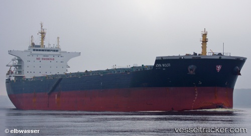
Vessel THALIA IMO: 9498901, MMSI: 212793000 Bulk Carrier
UTC, -35.60021, 73.65692, course: 270, speed: 11.2
UTC, -35.58758, 73.26526, course: 269, speed: 11.1
2026-02-25 11:41:58 UTC, -35.58133, 72.79876, course: 271, speed: 11.6
Live AIS position:
UTC. Open sea (no nearby ports in database)),
updated 2026-02-25 11:41:58 UTC.
Find the position of the vessel THALIA on the map. The latter are known coordinates and path.
marine traffic ship tracker show on live map
The current position of vessel THALIA is -35.58133 lat / 72.79876 lng. Updated: 2026-02-25 11:41:58 UTCCurrently sailing under the flag of Cyprus
Details:
Last coordinates of the vessel:
UTC, -35.60766, 74.06063, course: 272, speed: 11.2UTC, -35.60021, 73.65692, course: 270, speed: 11.2
UTC, -35.58758, 73.26526, course: 269, speed: 11.1
2026-02-25 11:41:58 UTC, -35.58133, 72.79876, course: 271, speed: 11.6