 vesseltracker.com
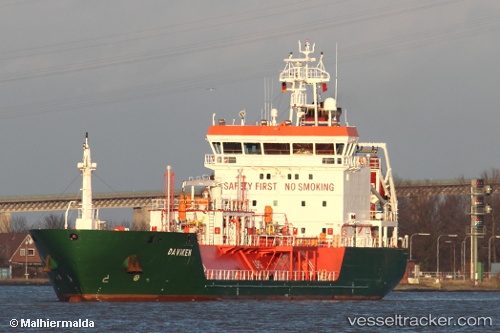
Vessel B Gas Mariner IMO: 9344198, MMSI: 215064000 Lpg Tanker
UTC, 54.52698, 18.55820, course: 84, speed: 0.1
UTC, 54.52695, 18.55823, course: 84, speed: 0
2026-02-04 03:33:03 UTC, 54.52698, 18.55820, course: 84, speed: 0.1
Live AIS position:
UTC. Near Gdynia),
updated 2026-02-04 03:33:03 UTC.
Find the position of the vessel B Gas Mariner on the map. The latter are known coordinates and path.
marine traffic ship tracker show on live map
The current position of vessel B Gas Mariner is 54.52698 lat / 18.55820 lng. Updated: 2026-02-04 03:33:03 UTCCurrently sailing under the flag of Malta
B Gas Mariner built in 2007 year
Deadweight:
3811 tDetails:
Last coordinates of the vessel:
UTC, 54.52697, 18.55820, course: 84, speed: 0UTC, 54.52698, 18.55820, course: 84, speed: 0.1
UTC, 54.52695, 18.55823, course: 84, speed: 0
2026-02-04 03:33:03 UTC, 54.52698, 18.55820, course: 84, speed: 0.1