 vesseltracker.com
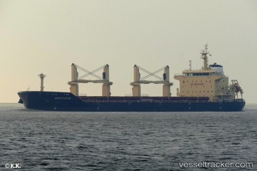
Vessel Merel D IMO: 9740433, MMSI: 215138000 Bulk Carrier
UTC, 38.9119, 118.036, course: 291, speed: 0
UTC, 38.9135, 118.036, course: 219, speed: 0.3
2026-01-29 12:01:49 UTC, 38.9127, 118.033, course: 109, speed: 0
Live AIS position:
UTC. Near Dagu Bar),
updated 2026-01-29 12:01:49 UTC.
Find the position of the vessel Merel D on the map. The latter are known coordinates and path.
marine traffic ship tracker show on live map
The current position of vessel Merel D is 38.9127 lat / 118.033 lng. Updated: 2026-01-29 12:01:49 UTCCurrently sailing under the flag of Malta
Details:
Last coordinates of the vessel:
UTC, 38.9113, 118.036, course: 322, speed: 0UTC, 38.9119, 118.036, course: 291, speed: 0
UTC, 38.9135, 118.036, course: 219, speed: 0.3
2026-01-29 12:01:49 UTC, 38.9127, 118.033, course: 109, speed: 0