 vesseltracker.com
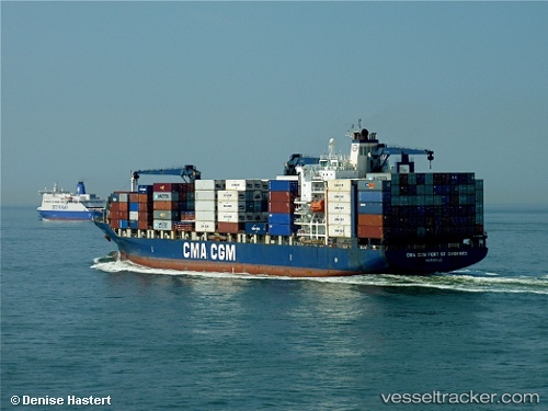
Vessel CC FORT ST GEORGES IMO: 9261918, MMSI: 215334000 Container Ship
UTC, -4.09072, 39.7069, course: 155, speed: 7.9
UTC, -4.25566, 40.1912, course: 112, speed: 15.6
2026-03-01 10:16:41 UTC, -4.42848, 40.7366, course: 110, speed: 15.6
Live AIS position:
UTC. 67 nm E of Mombasa),
updated 2026-03-01 10:16:41 UTC.
Find the position of the vessel CC FORT ST GEORGES on the map. The latter are known coordinates and path.
marine traffic ship tracker show on live map
The current position of vessel CC FORT ST GEORGES is -4.42848 lat / 40.7366 lng. Updated: 2026-03-01 10:16:41 UTCDetails:
Last coordinates of the vessel:
UTC, -4.04897, 39.6188, course: 342, speed: 0UTC, -4.09072, 39.7069, course: 155, speed: 7.9
UTC, -4.25566, 40.1912, course: 112, speed: 15.6
2026-03-01 10:16:41 UTC, -4.42848, 40.7366, course: 110, speed: 15.6