 vesseltracker.com
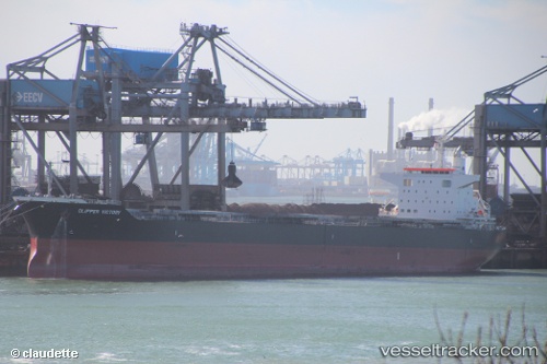
Vessel SANTA IRINI IMO: 9738789, MMSI: 215489000 Bulk Carrier
UTC, 32.281, 29.2179, course: 334, speed: 12.1
UTC, 32.4262, 29.1368, course: 334, speed: 12.4
2026-02-21 07:11:03 UTC, 32.4262, 29.1368, course: 334, speed: 12.4
Live AIS position:
UTC. 82 nm NW of ABU QIR),
updated 2026-02-21 07:11:03 UTC.
Find the position of the vessel SANTA IRINI on the map. The latter are known coordinates and path.
marine traffic ship tracker show on live map
The current position of vessel SANTA IRINI is 32.4262 lat / 29.1368 lng. Updated: 2026-02-21 07:11:03 UTCCurrently sailing under the flag of Malta
SANTA IRINI built in 2015 year
Deadweight:
77119 tDetails:
Last coordinates of the vessel:
UTC, 32.281, 29.2179, course: 334, speed: 12.1UTC, 32.281, 29.2179, course: 334, speed: 12.1
UTC, 32.4262, 29.1368, course: 334, speed: 12.4
2026-02-21 07:11:03 UTC, 32.4262, 29.1368, course: 334, speed: 12.4