 vesseltracker.com
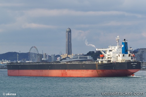
Vessel '215787000' IMO: 9363003, MMSI: 215787000
UTC, 53.1076, -153.553, course: 309, speed: 10.4
UTC, 53.3041, -153.919, course: 312, speed: 11
2026-02-09 11:37:21 UTC, 53.4997, -154.251, course: 312, speed: 10.8
Live AIS position:
UTC. 195 nm W of Kings Bromley),
updated 2026-02-09 11:37:21 UTC.
Find the position of the vessel '215787000' on the map. The latter are known coordinates and path.
marine traffic ship tracker show on live map
The current position of vessel '215787000' is 53.4997 lat / -154.251 lng. Updated: 2026-02-09 11:37:21 UTCDetails:
Last coordinates of the vessel:
UTC, 52.8314, -153.05, course: 309, speed: 10.4UTC, 53.1076, -153.553, course: 309, speed: 10.4
UTC, 53.3041, -153.919, course: 312, speed: 11
2026-02-09 11:37:21 UTC, 53.4997, -154.251, course: 312, speed: 10.8