 vesseltracker.com
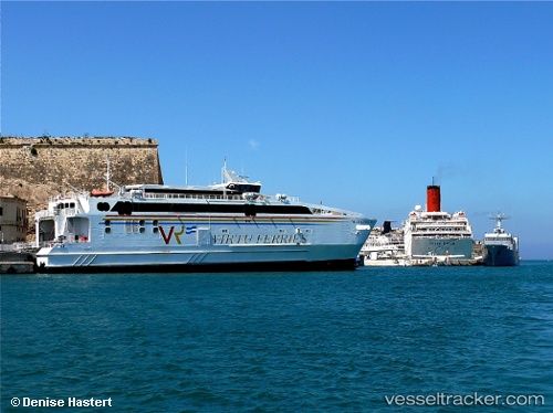
Vessel Maria Dolores IMO: 9333448, MMSI: 215883000 Passenger Ro Ro Cargo Ship
UTC, 36.0097, -5.60196, course: 168, speed: 0
UTC, 36.0097, -5.60191, course: 168, speed: 0
2026-01-20 06:02:44 UTC, 36.0041, -5.60464, course: 172, speed: 2.8
Live AIS position:
UTC. Near TARIFA),
updated 2026-01-20 06:02:44 UTC.
Find the position of the vessel Maria Dolores on the map. The latter are known coordinates and path.
marine traffic ship tracker show on live map
The current position of vessel Maria Dolores is 36.0041 lat / -5.60464 lng. Updated: 2026-01-20 06:02:44 UTCCurrently sailing under the flag of Malta
Maria Dolores built in 2006 year
Deadweight:
260 tDetails:
Last coordinates of the vessel:
UTC, 36.0097, -5.60192, course: 168, speed: 0UTC, 36.0097, -5.60196, course: 168, speed: 0
UTC, 36.0097, -5.60191, course: 168, speed: 0
2026-01-20 06:02:44 UTC, 36.0041, -5.60464, course: 172, speed: 2.8