 vesseltracker.com
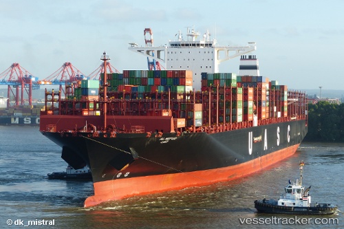
Vessel AL NEFUD IMO: 9708813, MMSI: 218000250 Cargo A
UTC, -34.9082, 23.2955, course: 76, speed: 16.5
UTC, -34.7833, 24.2207, course: 84, speed: 16.7
2026-02-23 21:37:51 UTC, -34.7563, 24.6016, course: 81, speed: 16.3
Live AIS position:
UTC. 36 nm S of Cape St. Francis),
updated 2026-02-23 21:37:51 UTC.
Find the position of the vessel AL NEFUD on the map. The latter are known coordinates and path.
marine traffic ship tracker show on live map
The current position of vessel AL NEFUD is -34.7563 lat / 24.6016 lng. Updated: 2026-02-23 21:37:51 UTCCurrently sailing under the flag of Germany
Details:
Last coordinates of the vessel:
UTC, -34.997, 22.7774, course: 77, speed: 16.1UTC, -34.9082, 23.2955, course: 76, speed: 16.5
UTC, -34.7833, 24.2207, course: 84, speed: 16.7
2026-02-23 21:37:51 UTC, -34.7563, 24.6016, course: 81, speed: 16.3