 vesseltracker.com
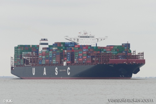
Vessel TIHAMA IMO: 9736107, MMSI: 218008040 Cargo A
UTC, 32.4637, -10.5401, course: 52, speed: 16.7
UTC, 32.673, -10.2763, course: 45, speed: 16.7
2026-02-23 17:30:08 UTC, 33.0761, -9.78373, course: 46, speed: 16.2
Live AIS position:
UTC. 53 nm NW of Safi),
updated 2026-02-23 17:30:08 UTC.
Find the position of the vessel TIHAMA on the map. The latter are known coordinates and path.
marine traffic ship tracker show on live map
The current position of vessel TIHAMA is 33.0761 lat / -9.78373 lng. Updated: 2026-02-23 17:30:08 UTCCurrently sailing under the flag of Germany
Details:
Last coordinates of the vessel:
UTC, 32.0879, -11.0052, course: 46, speed: 16.3UTC, 32.4637, -10.5401, course: 52, speed: 16.7
UTC, 32.673, -10.2763, course: 45, speed: 16.7
2026-02-23 17:30:08 UTC, 33.0761, -9.78373, course: 46, speed: 16.2