 vesseltracker.com
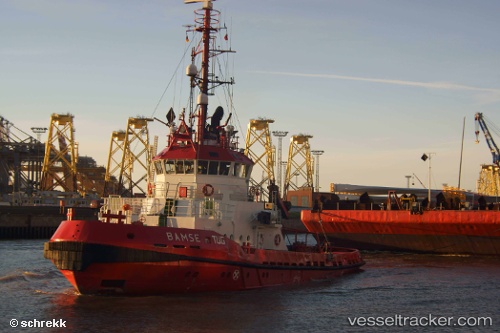
Vessel SVEND IMO: 8406157, MMSI: 219034486 Tug
UTC, 58.94990, 5.54861, course: 178, speed: 7.6
UTC, 58.79035, 5.43881, course: 196, speed: 6
2026-03-15 23:43:56 UTC, 58.54125, 5.55283, course: 147, speed: 7.9
Live Vessel SVEND Analytics (details, animations, etc.)
Live AIS position: UTC. Near Vigrestad), updated 2026-03-15 23:43:56 UTC.Find the position of the vessel SVEND on the map. The latter are known coordinates and path.
marine traffic ship tracker show on live map
The current position of vessel SVEND is 58.54125 lat / 5.55283 lng. Updated: 2026-03-15 23:43:56 UTCCurrently sailing under the flag of Denmark
Details:
Last coordinates of the vessel:
UTC, 58.98328, 5.72832, course: 141, speed: 0UTC, 58.94990, 5.54861, course: 178, speed: 7.6
UTC, 58.79035, 5.43881, course: 196, speed: 6
2026-03-15 23:43:56 UTC, 58.54125, 5.55283, course: 147, speed: 7.9