 vesseltracker.com
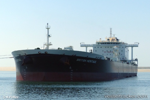
Vessel ELISABETH MAERSK IMO: 9682980, MMSI: 219314000 Crude Oil Tanker
UTC, -6.78667, 95.90833, course: -1, speed: 15
UTC, -6.76500, 96.38500, course: -1, speed: 15
2026-02-15 05:33:32 UTC, -6.74167, 96.80333, course: -1, speed: 15
Live AIS position:
UTC. 316 nm N of Cocos Islands),
updated 2026-02-15 05:33:32 UTC.
Find the position of the vessel ELISABETH MAERSK on the map. The latter are known coordinates and path.
marine traffic ship tracker show on live map
The current position of vessel ELISABETH MAERSK is -6.74167 lat / 96.80333 lng. Updated: 2026-02-15 05:33:32 UTCCurrently sailing under the flag of Denmark (DIS)
ELISABETH MAERSK built in 2017 year
Deadweight:
158277 tDetails:
Last coordinates of the vessel:
UTC, -6.80667, 95.39667, course: -1, speed: 15UTC, -6.78667, 95.90833, course: -1, speed: 15
UTC, -6.76500, 96.38500, course: -1, speed: 15
2026-02-15 05:33:32 UTC, -6.74167, 96.80333, course: -1, speed: 15