 vesseltracker.com
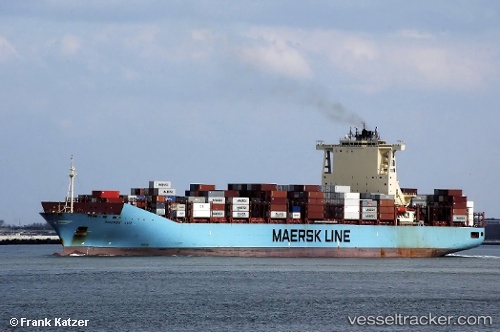
Vessel MAERSK LUZ IMO: 9526904, MMSI: 219510000 Container Ship
UTC, -32.59191, 14.07583, course: 128, speed: 17.2
UTC, -32.83990, 14.48998, course: 126, speed: 17.7
2026-02-27 16:16:26 UTC, -33.24302, 15.15740, course: 127, speed: 18
Live AIS position:
UTC. 137 nm W of Saldanha Bay),
updated 2026-02-27 16:16:26 UTC.
Find the position of the vessel MAERSK LUZ on the map. The latter are known coordinates and path.
marine traffic ship tracker show on live map
The current position of vessel MAERSK LUZ is -33.24302 lat / 15.15740 lng. Updated: 2026-02-27 16:16:26 UTCCurrently sailing under the flag of Denmark
Details:
Last coordinates of the vessel:
UTC, -32.23763, 13.52248, course: 129, speed: 16.6UTC, -32.59191, 14.07583, course: 128, speed: 17.2
UTC, -32.83990, 14.48998, course: 126, speed: 17.7
2026-02-27 16:16:26 UTC, -33.24302, 15.15740, course: 127, speed: 18