 vesseltracker.com
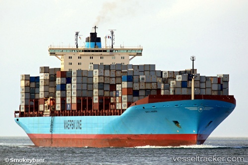
Vessel Grete Maersk IMO: 9302889, MMSI: 220397000 Container Ship
UTC, 20.86772, 113.78589, course: 207, speed: 15.1
UTC, 20.36943, 113.46151, course: 208, speed: 16.6
2026-02-10 04:07:16 UTC, 19.87440, 113.13095, course: 206, speed: 14.9
Live AIS position:
UTC. 105 nm S of Shadi),
updated 2026-02-10 04:07:16 UTC.
Find the position of the vessel Grete Maersk on the map. The latter are known coordinates and path.
marine traffic ship tracker show on live map
The current position of vessel Grete Maersk is 19.87440 lat / 113.13095 lng. Updated: 2026-02-10 04:07:16 UTCDetails:
Last coordinates of the vessel:
UTC, 21.24368, 114.01992, course: 206, speed: 15UTC, 20.86772, 113.78589, course: 207, speed: 15.1
UTC, 20.36943, 113.46151, course: 208, speed: 16.6
2026-02-10 04:07:16 UTC, 19.87440, 113.13095, course: 206, speed: 14.9