 vesseltracker.com
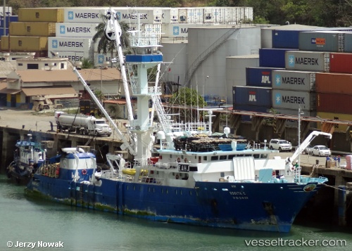
Vessel Rosita C IMO: 9210969, MMSI: 224523000 Fishing Vessel
UTC, 0.58667, -85.58500, course: -1, speed: 13
UTC, 0.70667, -85.92833, course: -1, speed: 13
2026-01-30 21:58:43 UTC, 0.88167, -86.37500, course: -1, speed: 13
Live AIS position:
UTC. 221 nm NE of Puerto Baquerizo Moreno),
updated 2026-01-30 21:58:43 UTC.
Find the position of the vessel Rosita C on the map. The latter are known coordinates and path.
marine traffic ship tracker show on live map
The current position of vessel Rosita C is 0.88167 lat / -86.37500 lng. Updated: 2026-01-30 21:58:43 UTCDetails:
Last coordinates of the vessel:
UTC, 0.40667, -85.06500, course: -1, speed: 13UTC, 0.58667, -85.58500, course: -1, speed: 13
UTC, 0.70667, -85.92833, course: -1, speed: 13
2026-01-30 21:58:43 UTC, 0.88167, -86.37500, course: -1, speed: 13