 vesseltracker.com
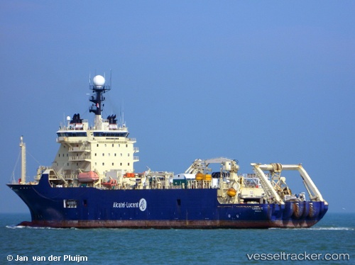
Vessel Cs Ile De Batz IMO: 9247041, MMSI: 226332000 Cable Layer
UTC, 26.59711, 50.31282, course: 27, speed: 0.4
UTC, 26.60349, 50.31650, course: 31, speed: 0.3
2026-02-03 04:11:37 UTC, 26.62219, 50.33230, course: 39, speed: 0.8
Live AIS position:
UTC. Near Ras Tannurah),
updated 2026-02-03 04:11:37 UTC.
Find the position of the vessel Cs Ile De Batz on the map. The latter are known coordinates and path.
marine traffic ship tracker show on live map
The current position of vessel Cs Ile De Batz is 26.62219 lat / 50.33230 lng. Updated: 2026-02-03 04:11:37 UTCCurrently sailing under the flag of France
Cs Ile De Batz built in 2001 year
Deadweight:
10000 tDetails:
Last coordinates of the vessel:
UTC, 26.58786, 50.30949, course: 4, speed: 0.3UTC, 26.59711, 50.31282, course: 27, speed: 0.4
UTC, 26.60349, 50.31650, course: 31, speed: 0.3
2026-02-03 04:11:37 UTC, 26.62219, 50.33230, course: 39, speed: 0.8