 vesseltracker.com
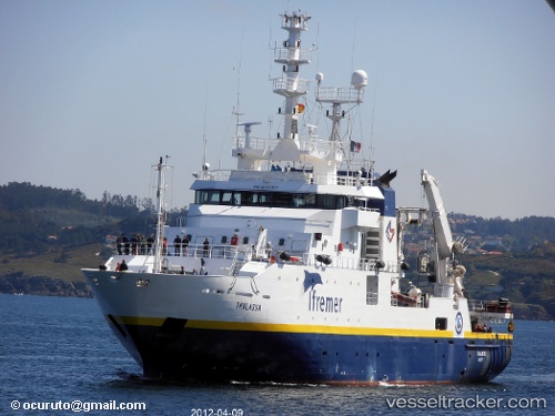
Vessel Thalassa IMO: 9070307, MMSI: 227297000 Fishing Support Vessel
UTC, 51.57297, 2.72405, course: 47, speed: 10.2
UTC, 51.60479, 2.81023, course: 86, speed: 0.7
2026-02-03 08:30:51 UTC, 51.48495, 3.03878, course: 66, speed: 8.7
Live AIS position:
UTC. 10 nm SE of Thorntonbank),
updated 2026-02-03 08:30:51 UTC.
Find the position of the vessel Thalassa on the map. The latter are known coordinates and path.
marine traffic ship tracker show on live map
The current position of vessel Thalassa is 51.48495 lat / 3.03878 lng. Updated: 2026-02-03 08:30:51 UTCThalassa built in 1996 year
Details:
Last coordinates of the vessel:
UTC, 51.40912, 2.70283, course: 89, speed: 4.4UTC, 51.57297, 2.72405, course: 47, speed: 10.2
UTC, 51.60479, 2.81023, course: 86, speed: 0.7
2026-02-03 08:30:51 UTC, 51.48495, 3.03878, course: 66, speed: 8.7