 vesseltracker.com
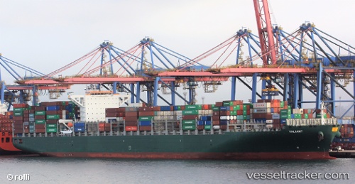
Vessel Valiant IMO: 9628178, MMSI: 229541000 Container Ship
UTC, 4.59714, 106.00458, course: 42, speed: 11
UTC, 4.81082, 106.18641, course: 40, speed: 11
2026-02-18 17:33:58 UTC, 5.17074, 106.33895, course: 26, speed: 11.1
Live AIS position:
UTC. 25 nm E of Kakap Natuna Terminal),
updated 2026-02-18 17:33:58 UTC.
Find the position of the vessel Valiant on the map. The latter are known coordinates and path.
marine traffic ship tracker show on live map
The current position of vessel Valiant is 5.17074 lat / 106.33895 lng. Updated: 2026-02-18 17:33:58 UTCCurrently sailing under the flag of Malta
Valiant built in 2013 year
Deadweight:
110876 tDetails:
Last coordinates of the vessel:
UTC, 4.39482, 105.86187, course: 31, speed: 10.7UTC, 4.59714, 106.00458, course: 42, speed: 11
UTC, 4.81082, 106.18641, course: 40, speed: 11
2026-02-18 17:33:58 UTC, 5.17074, 106.33895, course: 26, speed: 11.1