 vesseltracker.com
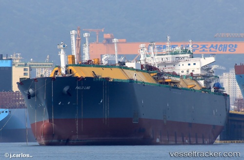
Vessel Palu Lng IMO: 9636735, MMSI: 229582000 Lng Tanker
UTC, 35.14333, -9.40167, course: -1, speed: 15
UTC, 35.29500, -8.68333, course: -1, speed: 15
2026-02-10 19:54:13 UTC, 35.45363, -8.10936, course: 70, speed: 15.9
Live AIS position:
UTC. 94 nm S of Faro),
updated 2026-02-10 19:54:13 UTC.
Find the position of the vessel Palu Lng on the map. The latter are known coordinates and path.
marine traffic ship tracker show on live map
The current position of vessel Palu Lng is 35.45363 lat / -8.10936 lng. Updated: 2026-02-10 19:54:13 UTCCurrently sailing under the flag of Malta
Details:
Last coordinates of the vessel:
UTC, 34.97908, -10.09206, course: 73, speed: 15.7UTC, 35.14333, -9.40167, course: -1, speed: 15
UTC, 35.29500, -8.68333, course: -1, speed: 15
2026-02-10 19:54:13 UTC, 35.45363, -8.10936, course: 70, speed: 15.9