 vesseltracker.com
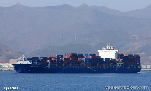
Vessel Leonidio IMO: 9618587, MMSI: 229648000 Container Ship
UTC, 29.21368, 32.71492, course: 157, speed: 17.8
UTC, 28.91198, 32.82669, course: 159, speed: 17.4
2026-02-21 15:19:51 UTC, 28.91198, 32.82669, course: 159, speed: 17.4
Live AIS position:
UTC. 15 nm W of Ras Budran),
updated 2026-02-21 15:19:51 UTC.
Find the position of the vessel Leonidio on the map. The latter are known coordinates and path.
marine traffic ship tracker show on live map
The current position of vessel Leonidio is 28.91198 lat / 32.82669 lng. Updated: 2026-02-21 15:19:51 UTCDetails:
Last coordinates of the vessel:
UTC, 29.67895, 32.50615, course: 181, speed: 17UTC, 29.21368, 32.71492, course: 157, speed: 17.8
UTC, 28.91198, 32.82669, course: 159, speed: 17.4
2026-02-21 15:19:51 UTC, 28.91198, 32.82669, course: 159, speed: 17.4