 vesseltracker.com
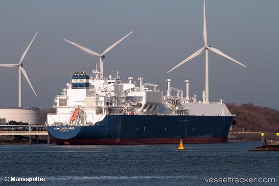
Vessel Cool Explorer IMO: 9640023, MMSI: 229796000 Lng Tanker
UTC, 12.26193, 69.67614, course: 136, speed: 14.7
UTC, 11.89500, 70.01667, course: -1, speed: 14
2026-02-04 05:29:10 UTC, 11.59201, 70.31160, course: 137, speed: 14.9
Live AIS position:
UTC. 145 nm W of Amini Island),
updated 2026-02-04 05:29:10 UTC.
Find the position of the vessel Cool Explorer on the map. The latter are known coordinates and path.
marine traffic ship tracker show on live map
The current position of vessel Cool Explorer is 11.59201 lat / 70.31160 lng. Updated: 2026-02-04 05:29:10 UTCDetails:
Last coordinates of the vessel:
UTC, 12.52667, 69.43167, course: -1, speed: 14UTC, 12.26193, 69.67614, course: 136, speed: 14.7
UTC, 11.89500, 70.01667, course: -1, speed: 14
2026-02-04 05:29:10 UTC, 11.59201, 70.31160, course: 137, speed: 14.9