 vesseltracker.com
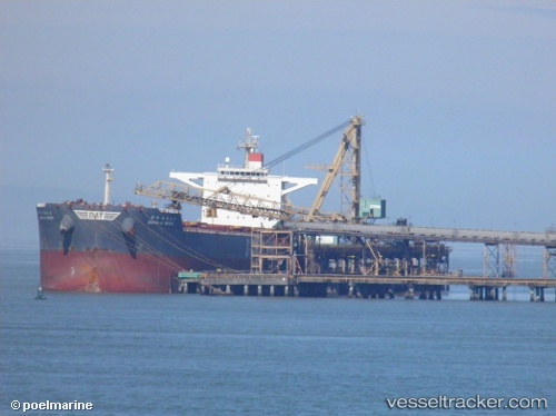
Vessel ATALANDI IMO: 9468970, MMSI: 229876000 Bulk Carrier
UTC, 31.09113, 123.06583, course: 309, speed: 9
UTC, 31.11600, 122.70418, course: 283, speed: 7.8
2026-02-03 23:31:05 UTC, 31.11947, 122.53897, course: 280, speed: 11.6
Live AIS position:
UTC. Near Jingjiang),
updated 2026-02-03 23:31:05 UTC.
Find the position of the vessel ATALANDI on the map. The latter are known coordinates and path.
marine traffic ship tracker show on live map
The current position of vessel ATALANDI is 31.11947 lat / 122.53897 lng. Updated: 2026-02-03 23:31:05 UTCCurrently sailing under the flag of Malta
ATALANDI built in 2010 year
Deadweight:
179329 tDetails:
Last coordinates of the vessel:
UTC, 30.87262, 123.24857, course: 355, speed: 5.8UTC, 31.09113, 123.06583, course: 309, speed: 9
UTC, 31.11600, 122.70418, course: 283, speed: 7.8
2026-02-03 23:31:05 UTC, 31.11947, 122.53897, course: 280, speed: 11.6