 vesseltracker.com
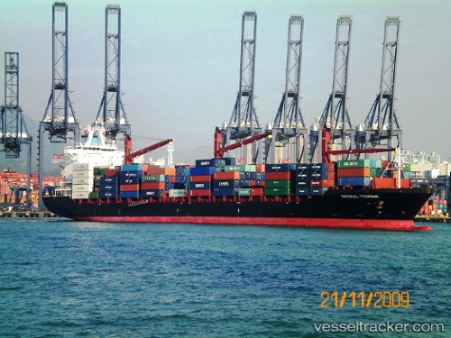
Vessel CMA CGM QUELIMANE IMO: 9367839, MMSI: 229914000 Container Ship
UTC, 5.91589, 142.40501, course: 174, speed: 17.6
UTC, 5.73382, 142.45280, course: 171, speed: 16.8
2026-02-18 23:36:08 UTC, 5.07418, 142.62778, course: 175, speed: 17.1
Live AIS position:
UTC. 101 nm S of Eauripik Atoll),
updated 2026-02-18 23:36:08 UTC.
Find the position of the vessel CMA CGM QUELIMANE on the map. The latter are known coordinates and path.
marine traffic ship tracker show on live map
The current position of vessel CMA CGM QUELIMANE is 5.07418 lat / 142.62778 lng. Updated: 2026-02-18 23:36:08 UTCCurrently sailing under the flag of Malta
CMA CGM QUELIMANE built in 2009 year
Deadweight:
34325 tDetails:
Last coordinates of the vessel:
UTC, 6.72704, 142.19872, course: 169, speed: 16.4UTC, 5.91589, 142.40501, course: 174, speed: 17.6
UTC, 5.73382, 142.45280, course: 171, speed: 16.8
2026-02-18 23:36:08 UTC, 5.07418, 142.62778, course: 175, speed: 17.1