 vesseltracker.com
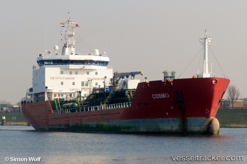
Vessel OKTAN IMO: 9251755, MMSI: 231884000 Chemical Oil Products Tanker
UTC, 37.11267, 11.93850, course: 114, speed: 8.8
UTC, 37.04150, 12.17516, course: 113, speed: 9.2
2026-02-14 06:15:51 UTC, 36.88767, 12.70883, course: 114, speed: 10.3
Live AIS position:
UTC. 36 nm E of Scauri Alto),
updated 2026-02-14 06:15:51 UTC.
Find the position of the vessel OKTAN on the map. The latter are known coordinates and path.
marine traffic ship tracker show on live map
The current position of vessel OKTAN is 36.88767 lat / 12.70883 lng. Updated: 2026-02-14 06:15:51 UTCCurrently sailing under the flag of Faroe Is
OKTAN built in 2003 year
Deadweight:
5885 tDetails:
Last coordinates of the vessel:
UTC, 37.24667, 11.52500, course: -1, speed: 9UTC, 37.11267, 11.93850, course: 114, speed: 8.8
UTC, 37.04150, 12.17516, course: 113, speed: 9.2
2026-02-14 06:15:51 UTC, 36.88767, 12.70883, course: 114, speed: 10.3