 vesseltracker.com
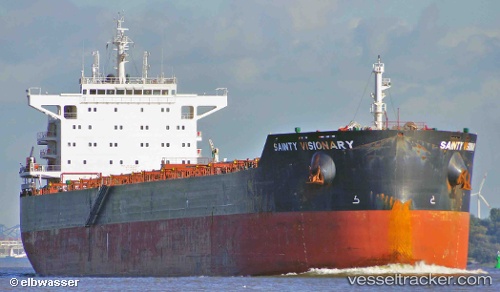
Vessel Anglo Barinthus IMO: 9660566, MMSI: 232012553 Bulk Carrier
UTC, 13.38667, 129.55499, course: -1, speed: 9
UTC, 13.16167, 129.78667, course: -1, speed: 9
2026-02-28 03:30:27 UTC, 12.95333, 130.01666, course: -1, speed: 9
Live AIS position:
UTC. 278 nm NE of Guiuan),
updated 2026-02-28 03:30:27 UTC.
Find the position of the vessel Anglo Barinthus on the map. The latter are known coordinates and path.
marine traffic ship tracker show on live map
The current position of vessel Anglo Barinthus is 12.95333 lat / 130.01666 lng. Updated: 2026-02-28 03:30:27 UTCCurrently sailing under the flag of United Kingdom
Anglo Barinthus built in 2013 year
Deadweight:
82000 tDetails:
Last coordinates of the vessel:
UTC, 13.53333, 129.36333, course: -1, speed: 9UTC, 13.38667, 129.55499, course: -1, speed: 9
UTC, 13.16167, 129.78667, course: -1, speed: 9
2026-02-28 03:30:27 UTC, 12.95333, 130.01666, course: -1, speed: 9