 vesseltracker.com
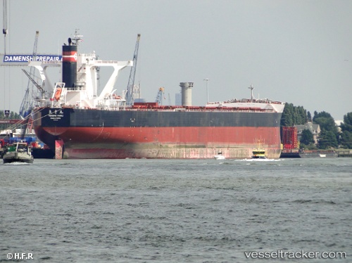
Vessel Berge Nyangani IMO: 9558294, MMSI: 232018697 Bulk Carrier
UTC, 6.11333, 107.72667, course: -1, speed: 12
UTC, 5.78157, 107.38621, course: 230, speed: 12.5
2026-02-28 16:04:15 UTC, 5.56423, 107.11764, course: -1, speed: 12.5
Live AIS position:
UTC. 42 nm SE of Slipi),
updated 2026-02-28 16:04:15 UTC.
Find the position of the vessel Berge Nyangani on the map. The latter are known coordinates and path.
marine traffic ship tracker show on live map
The current position of vessel Berge Nyangani is 5.56423 lat / 107.11764 lng. Updated: 2026-02-28 16:04:15 UTCDetails:
Last coordinates of the vessel:
UTC, 6.41479, 108.06753, course: 231, speed: 12.9UTC, 6.11333, 107.72667, course: -1, speed: 12
UTC, 5.78157, 107.38621, course: 230, speed: 12.5
2026-02-28 16:04:15 UTC, 5.56423, 107.11764, course: -1, speed: 12.5