 vesseltracker.com
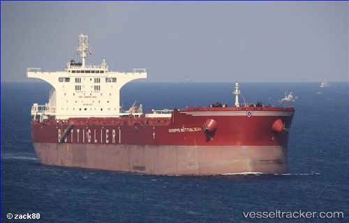
Vessel 232031388 IMO: 9511337, MMSI: 232031388
UTC, 38.75221, 119.00422, course: 86, speed: 13.8
UTC, 38.70774, 119.60900, course: 92, speed: 12.8
2026-02-10 07:41:44 UTC, 38.67670, 120.01730, course: 95, speed: 12.3
Live AIS position:
UTC. 55 nm W of Lushun New Pt),
updated 2026-02-10 07:41:44 UTC.
Find the position of the vessel 232031388 on the map. The latter are known coordinates and path.
marine traffic ship tracker show on live map
The current position of vessel 232031388 is 38.67670 lat / 120.01730 lng. Updated: 2026-02-10 07:41:44 UTCDetails:
Last coordinates of the vessel:
UTC, 38.84632, 118.52248, course: 159, speed: 8.5UTC, 38.75221, 119.00422, course: 86, speed: 13.8
UTC, 38.70774, 119.60900, course: 92, speed: 12.8
2026-02-10 07:41:44 UTC, 38.67670, 120.01730, course: 95, speed: 12.3