 vesseltracker.com
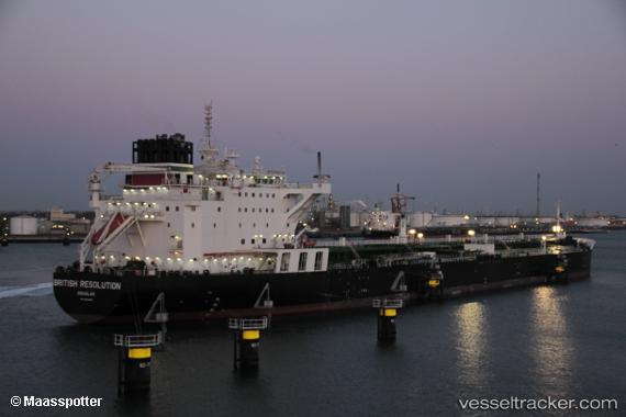
Vessel British Resolution IMO: 9683051, MMSI: 235108531 Crude Oil Tanker
UTC, 30.41547, -60.96273, course: 76, speed: 12.2
UTC, 30.51668, -60.25785, course: 79, speed: 12.1
2026-02-15 05:25:42 UTC, 30.54914, -60.02551, course: 79, speed: 12.4
Live AIS position:
UTC. 263 nm SE of Saint George),
updated 2026-02-15 05:25:42 UTC.
Find the position of the vessel British Resolution on the map. The latter are known coordinates and path.
marine traffic ship tracker show on live map
The current position of vessel British Resolution is 30.54914 lat / -60.02551 lng. Updated: 2026-02-15 05:25:42 UTCDetails:
Last coordinates of the vessel:
UTC, 30.35744, -61.35948, course: 82, speed: 12.1UTC, 30.41547, -60.96273, course: 76, speed: 12.2
UTC, 30.51668, -60.25785, course: 79, speed: 12.1
2026-02-15 05:25:42 UTC, 30.54914, -60.02551, course: 79, speed: 12.4