 vesseltracker.com
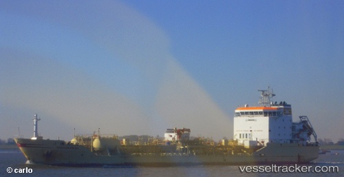
Vessel Mv Aquamarine IMO: 9323144, MMSI: 240743000 Cement Carrier
UTC, 36.27151, 34.12017, course: 230, speed: 12.1
UTC, 36.09657, 33.58471, course: 259, speed: 12.7
2026-02-20 19:25:48 UTC, 36.04411, 33.22757, course: 260, speed: 12.2
Live AIS position:
UTC. 18 nm E of Anamur),
updated 2026-02-20 19:25:48 UTC.
Find the position of the vessel Mv Aquamarine on the map. The latter are known coordinates and path.
marine traffic ship tracker show on live map
The current position of vessel Mv Aquamarine is 36.04411 lat / 33.22757 lng. Updated: 2026-02-20 19:25:48 UTCCurrently sailing under the flag of Greece
Details:
Last coordinates of the vessel:
UTC, 36.42375, 34.33150, course: 228, speed: 12.4UTC, 36.27151, 34.12017, course: 230, speed: 12.1
UTC, 36.09657, 33.58471, course: 259, speed: 12.7
2026-02-20 19:25:48 UTC, 36.04411, 33.22757, course: 260, speed: 12.2